MPX Geophysics
Data Processing
Expert Data Processing for Accurate Results
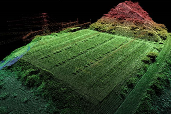
All field data is sent back to the main office in Markham, ON for data processing, where a geophysicist reviews it for quality assurance/quality control (QA/QC) requirements before fully processing it to produce the requested data, grid, map, and report products for the client.
Basic Suite of Product Components offered for each survey:
- Report (hard copy & .pdf)
- Databases (.gdb & .xyz)
- Grids (.grd)
- Maps (hard copy full scale plots, hard copy page size plot in report, .map & .pdf – .shp or .geotiff available for an additional cost)
- Full Project Metadata (.txt & .pdf)
- Flown survey and claim block Polygons (.ply)
Products Offered for each Survey Type:
- Flight Path
- Digital Terrain Model
- Any Grid Draped on Topography
Typical Magnetic Products:
- Total Magnetic Intensity (TMI)
- TMI IGRF Reduced to the Magnetic Pole (or Equator)
- First Vertical Derivative (1VD)
Optional Magnetic Products:
- TMI with IGRF removed (TMI IGRF)
- Second Vertical Derivative (2VD)
- Calculated Horizontal Derivative
- Measured Horizontal Gradient
- Calculated Analytical Signal (AS)
- Magnetic Tilt Derivative
Typical Radiometric Products:
- Total Count
- Uranium (eq U)
- Thorium (eq Th)
- Potassium (K)
- eq U / eq Th Ratio
- eq U / K Ratio
- eq Th / K Ratio
- Ternary Map (eq U / eq Th / K)
Typical Gravity Products:
- Free-Air Gravity
- Terrain Corrected Bouguer Gravity
- 1VD of Terrain Corrected Bouguer Gravity