MPX Geophysics
Interpretation Modeling
Geophysical survey interpretation and modelling for project planning.
The main purpose of any geophysical survey is to provide additional information about the geology and structures present in your area of interest, supporting your future project plans. This information is obtained through the preparation of suitable models and interpretation of results, enabling a coherent explanation of your area.
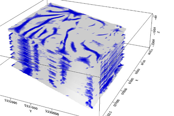
Depending upon the type of survey that you choose, there are a variety of modelling and interpretation techniques available.
- Potential Fields (Magnetic and Gravity)
- Full magnetic and gravity modelling capabilities
- Compudrape
- Source parameter imaging (SPI)
- Source edge detection (SED)
- Basin analysis
- Keating correlation
- Euler deconvolution
- Depth to basement
- Radiometric
- Standard and PRAGA3 processing